
Intelligence from
Every Angle.
Cinematic aerials and explorable 3D digital twins for luxury homes, commercial real estate, and historic landmarks, plus precision data for construction, inspections, and mapping.
What We Capture
Luxury & Commercial Real Estate
Showcase high-value commercial assets and luxury estates through cinematic 4K cinematography and interactive 3D site walkthroughs designed for maximum buyer impact.
Historical Preservation & Digital Twins
Create detailed digital twins of landmarks, buildings, and significant sites for documentation, preservation, marketing, and immersive presentation.
Construction Progress Tracking
Automate project documentation with weekly visual timelines and data-rich progress reports that ensure large-scale construction stays on schedule and on budget.
High-Resolution Structural Inspection
Conduct safe, non-contact structural audits of roofs, towers, and infrastructure using high-magnification telephoto optics for detailed visual defect identification.
Capture Capabilities
Specialized aerial capture workflows built for mapping, inspection, modeling, and immersive site documentation.
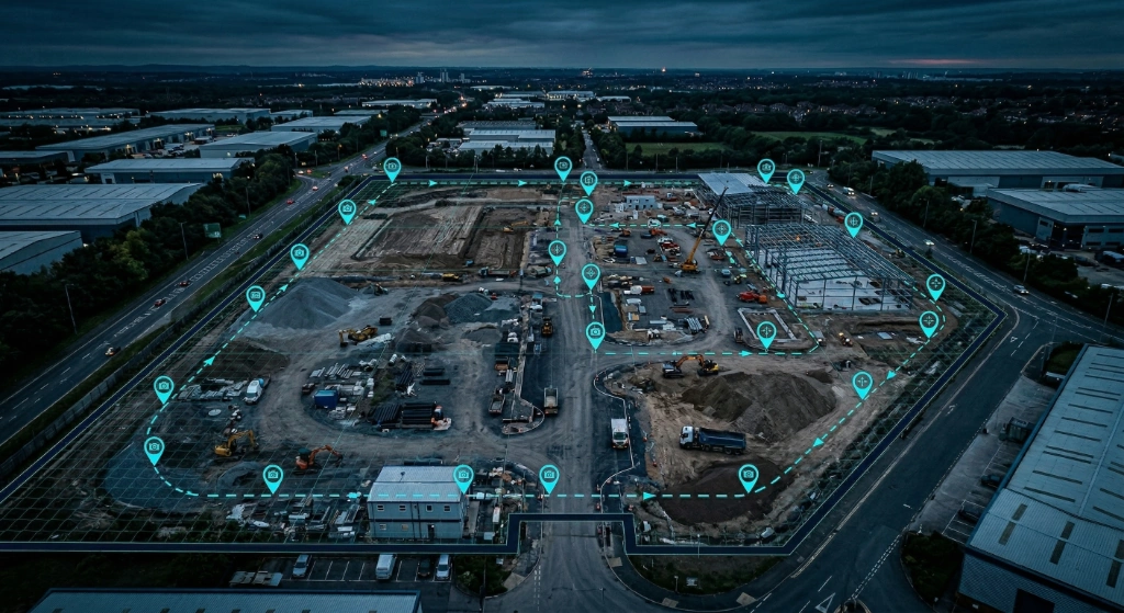
Positioning
RTK Precision Capture
Capture highly accurate aerial data with repeatable flight paths and precision positioning for reliable site documentation, mapping, and measurement.
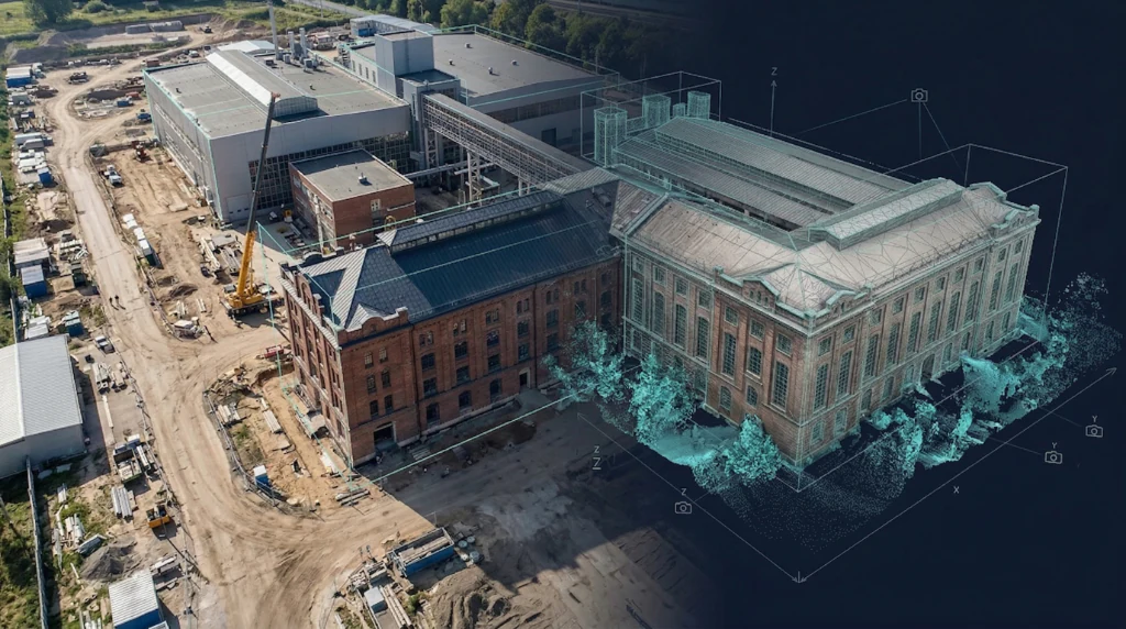
Reconstruction
Photogrammetry & 3D Modeling
Transform aerial imagery into orthomosaics, point clouds, and detailed 3D models for planning, analysis, and visual understanding.
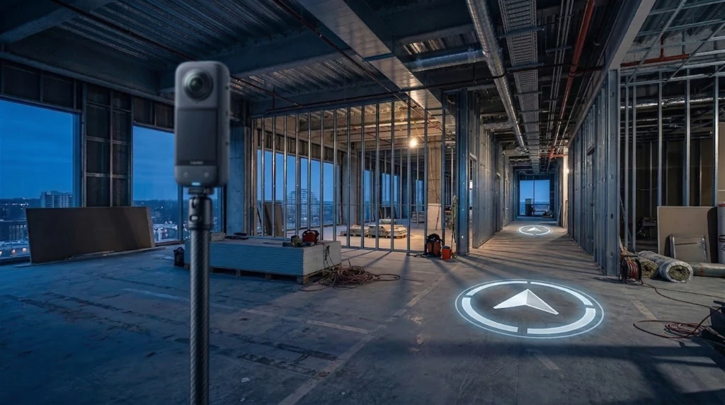
Navigation
Immersive 360° Site Tours
Create navigable aerial and ground-based virtual tours that let viewers jump between key locations across jobsites, properties, and historic environments.
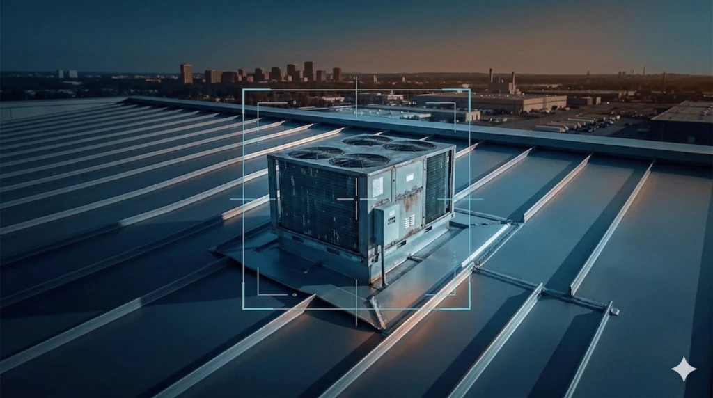
Assessment
High-Resolution Visual Inspection
Collect detailed roof, facade, and structural imagery from safe stand-off distances for inspections, underwriting support, and condition documentation.
The Process
Mission Planning & Site Prep
Every project begins with airspace review, site planning, capture strategy, and deliverable scoping to ensure efficient operations and useful results.
Precision Data Acquisition
Aerial data is collected using repeatable workflows tailored for mapping, inspection, modeling, and immersive site documentation.
Processing & Client Delivery
Captured data is refined into organized outputs and delivered in formats that support planning, documentation, analysis, and stakeholder review.
Ready to See Your
World in Detail?
Tell us about your project. We'll scope it, fly it, and deliver precision data you can act on.