
Interactive Panoramas That Put Viewers On Site
360-degree virtual tours let users explore a location as if they’re standing there. These immersive, high-resolution environments are perfect for real estate, inspections, tourism, and facility walkthroughs.
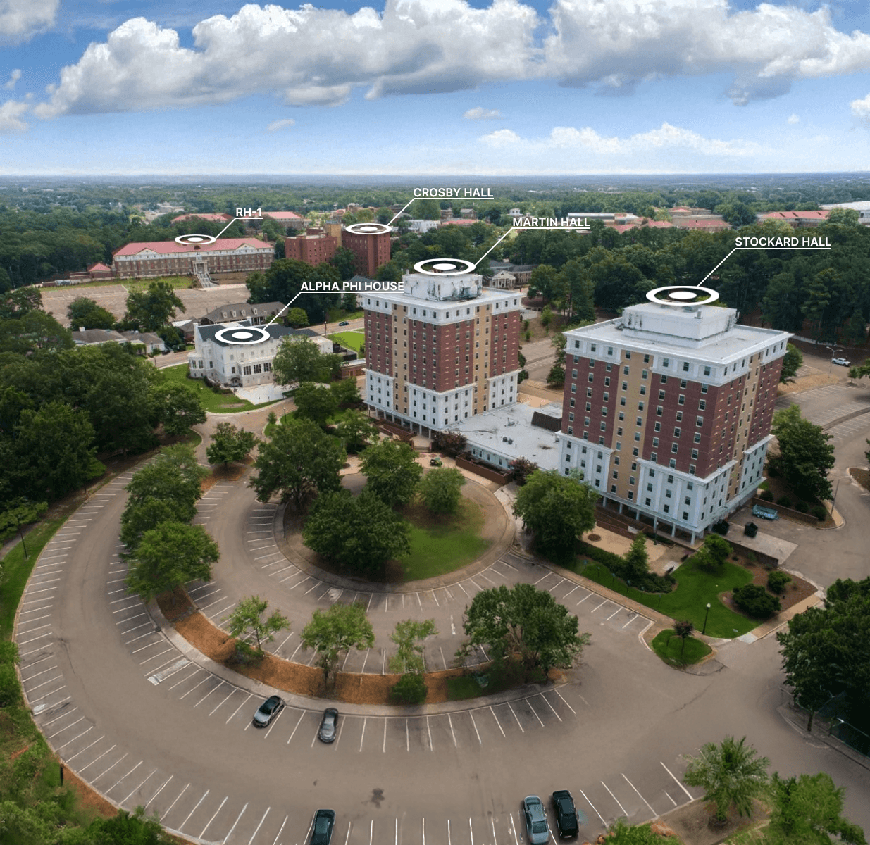
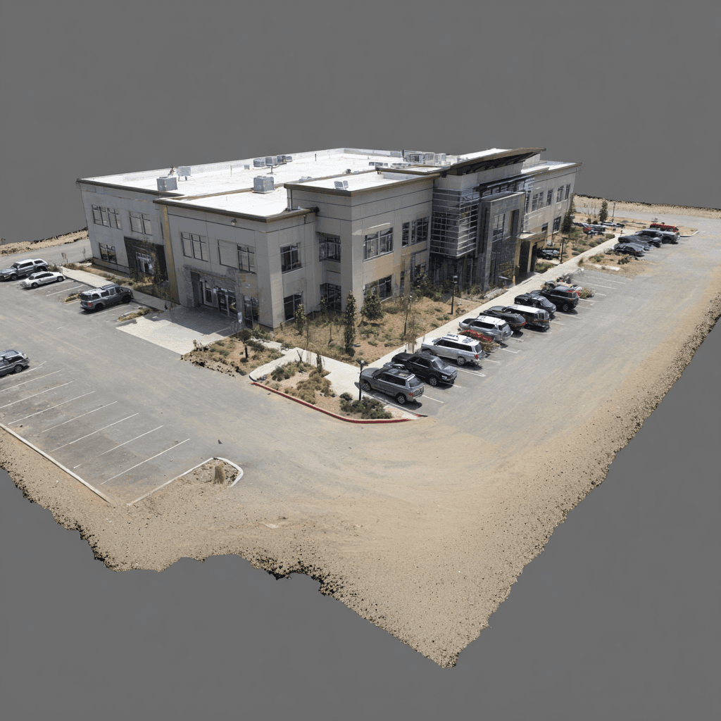
Large Site & Campus Overviews
Panoramic Views that Show the Whole Picture
Give viewers a full aerial perspective of large properties, campuses, or industrial sites. Perfect for showing spatial relationships, access points, and surroundings in a way traditional maps and photos can’t.
Benefits:
Show scale, layout, and context in one interactive view
Highlight parking, entrances, and navigation routes
Ideal for facility planning and public presentations
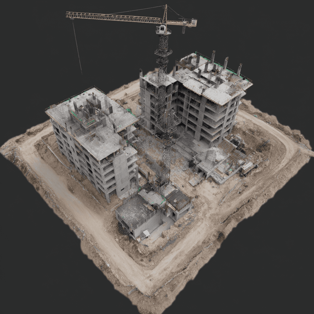
Construction Site Orientation
Give subs and stakeholders an up-to-date view of site conditions. Improve safety briefings and reduce first-day confusion.
Benefits:
Faster onboarding and coordination
Document conditions by date
Fewer on-site surprises
Facility Tours & Training
Train staff on routes, equipment, and safety zones remotely. Keep production running while improving preparedness.
Benefits:
Standardize training with visual context
Highlight hazards and best practices
Share securely with teams

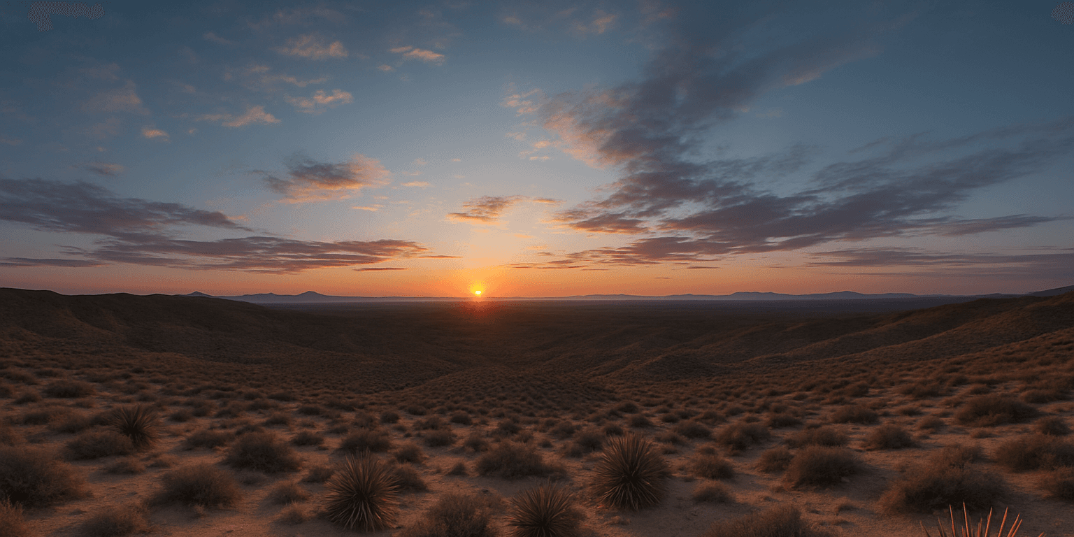
Outdoor Recreation & Destination Showcases
Immersive Aerial Experiences that Draw Visitors In
Capture parks, trails, golf courses, resorts, and waterfronts in interactive 360° panoramas. Give potential visitors the feeling of being there—before they ever arrive.
Benefits:
Increase visitor engagement and trip planning confidence
Show key amenities and scenic viewpoints
Perfect for tourism boards, resorts, and municipalities