
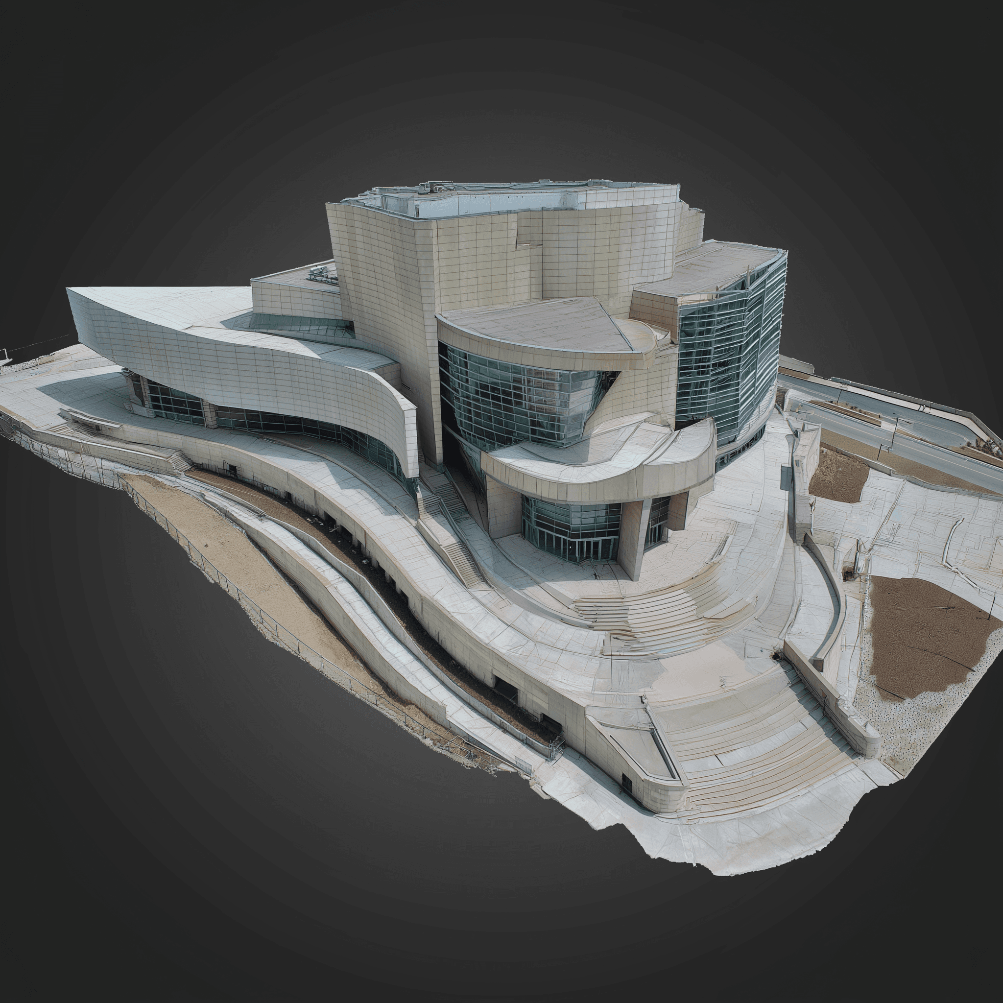
Walk Through, Measure, and Plan in Three Dimensions
3D models generated from drone-captured images give you a lifelike digital twin of your project, site, or structure. These fully navigable, measurable environments are ideal for planning, collaboration, and documentation — without the need for boots on the ground.
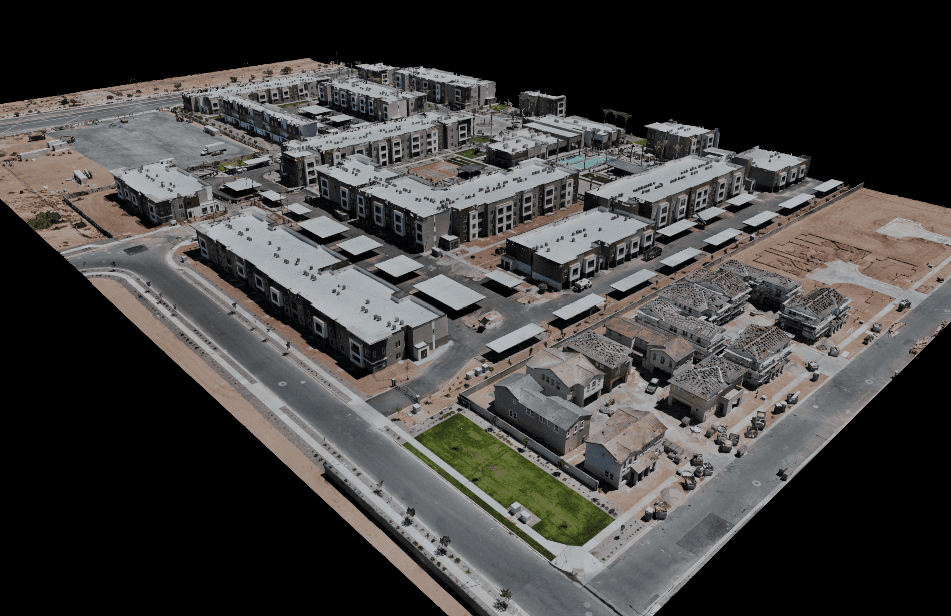
Site Visualization & Planning
Place concepts into a true-to-life model of your terrain and surroundings. Reduce guesswork and streamline coordination between teams.
Benefits:
Validate designs against actual topography
Improve clash detection and alignment
Share interactive context with stakeholders
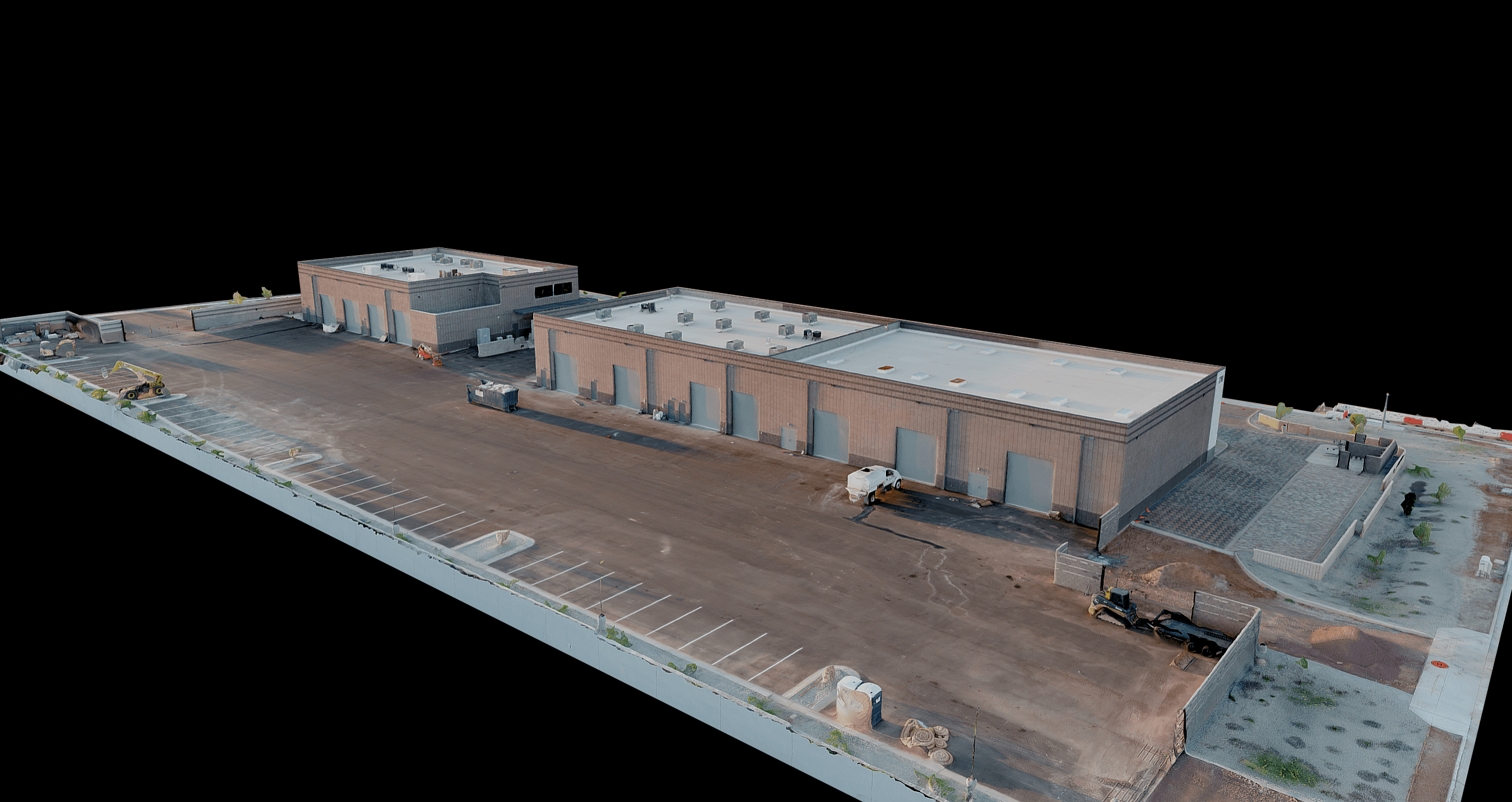
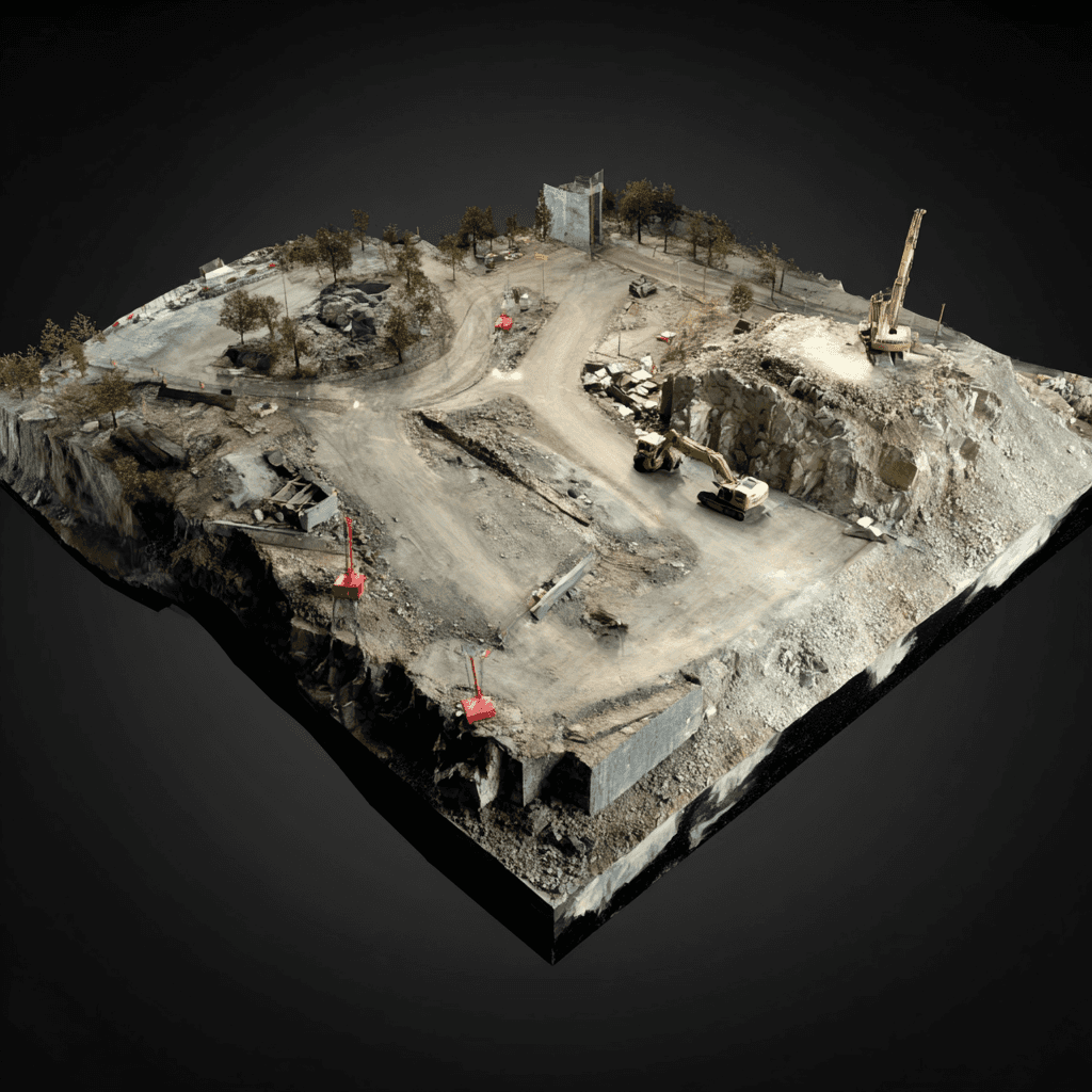
Construction & Development Documentation
Capture each phase in precise 3D to compare, annotate, and archive. Resolve disputes faster with clear, measurable evidence.
Benefits:
Track earthwork, utilities, and structures
Time-stamped records for billing and claims
Reduce repeat site walks
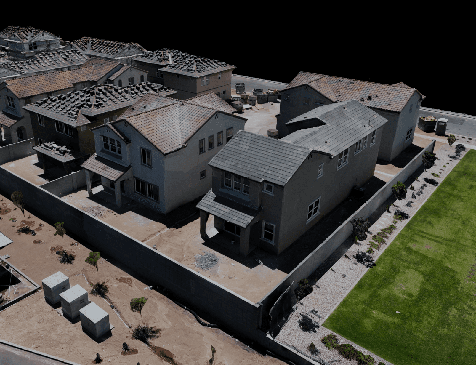
Structural & Topographic Assessments
Extract heights, areas, volumes, and slopes directly from the model. Identify irregularities early and act with confidence.
Benefits:
Quantify elevations, slopes, and separations
Spot erosion or settlement trends
Export to CAD/GIS as needed
Marketing & Presentations
Give clients and boards an interactive, “wow-factor” view of your project. Embed models on your site or in pitch decks with ease.
Benefits:
Increase engagement and clarity
Communicate complex sites simply
Reuse across web, meetings, and proposals