
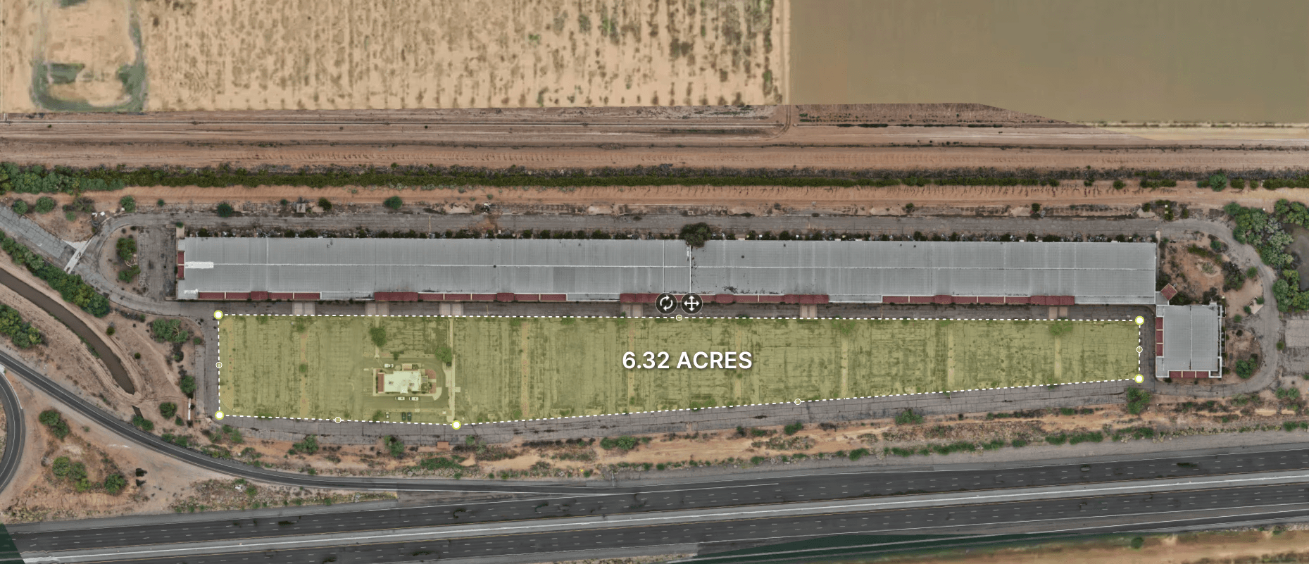
See the Big Picture with Pinpoint Accuracy
Orthographic (or "ortho") maps are high-resolution aerial images stitched together to form a distortion-free, true-to-scale map of your site. Unlike simple drone photos, orthomosaics are georeferenced, measurable, and can be overlaid with other site data for analysis, planning, and reporting.
Whether you're building, managing, inspecting, or selling — our orthomosaic maps give you the clear, reliable data you need to make better decisions faster.
Construction Site Monitoring
Stay ahead of timelines with routine orthomaps that document progress and conditions. We help GCs and owners communicate clearly, reduce rework, and keep subs aligned—without extra site visits.
Benefits:
Compare maps over time to catch delays early
Keep investors and teams aligned with visual updates
Reduce unnecessary site visits
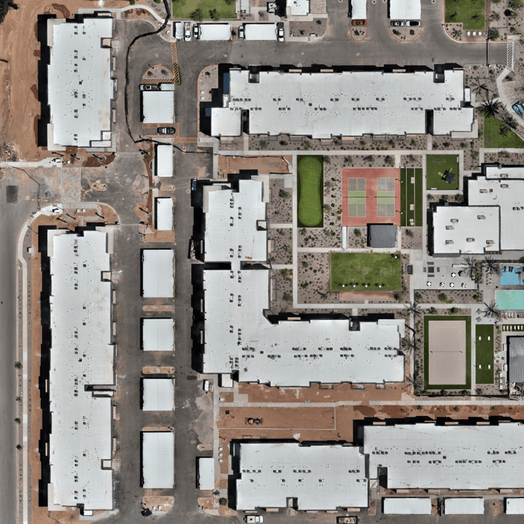
Land Development & Pre-Construction Planning
Get a complete view of terrain, features, and constraints before grading begins. Orthomaps support smarter design decisions and smoother approvals.
Benefits:
Overlay CAD/site plans for quick validation
Spot terrain challenges and boundary concerns early
Create compelling visuals for presentations and reviews
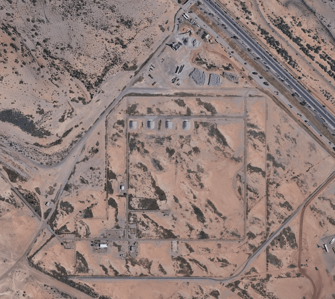
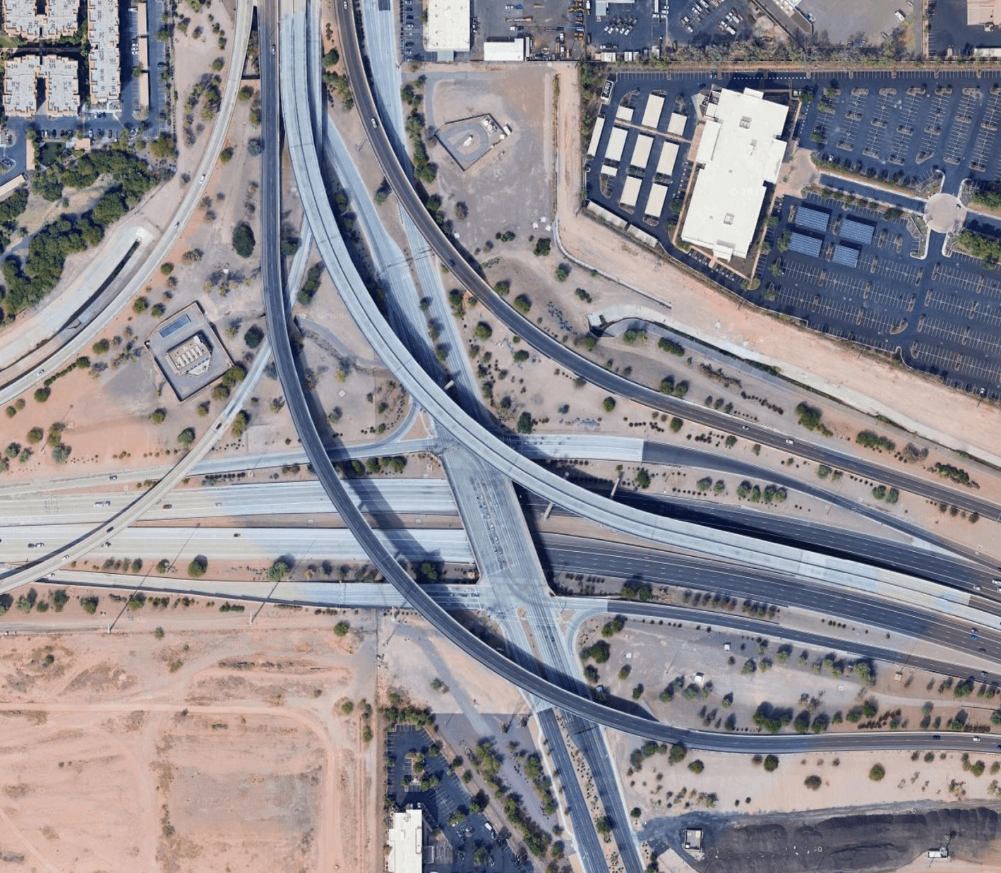
Infrastructure & Public Works
From roads to rooftops, get measurable data for planning, repairs, and asset management. Capture at scale without disrupting operations.
Benefits:
Simplify inspections and condition monitoring
Prioritize repairs with clear visuals
Maintain a permanent, timestamped record

Elevation Heat Maps
Convert terrain data into intuitive color gradients that reveal slopes, drainage paths, and grading needs. Ideal for earthwork planning and erosion control.
Benefits:
Visualize high/low areas and drainage quickly
Support cut/fill planning with clarity
Communicate terrain risks to stakeholders fast